16th THANK YOU TO ALL THE STAFF AT CONWAY YHA YOUTH HOSTEL ESPECIALLY JACKIE .
We basically retraced our footsteps back along the North Wales coast. Highlight was a stop for lunch in a Colwyn Bay seafront shelter to avoid the insistant rain ,with accompanying smell of urine and someones after pub nausia puddle!
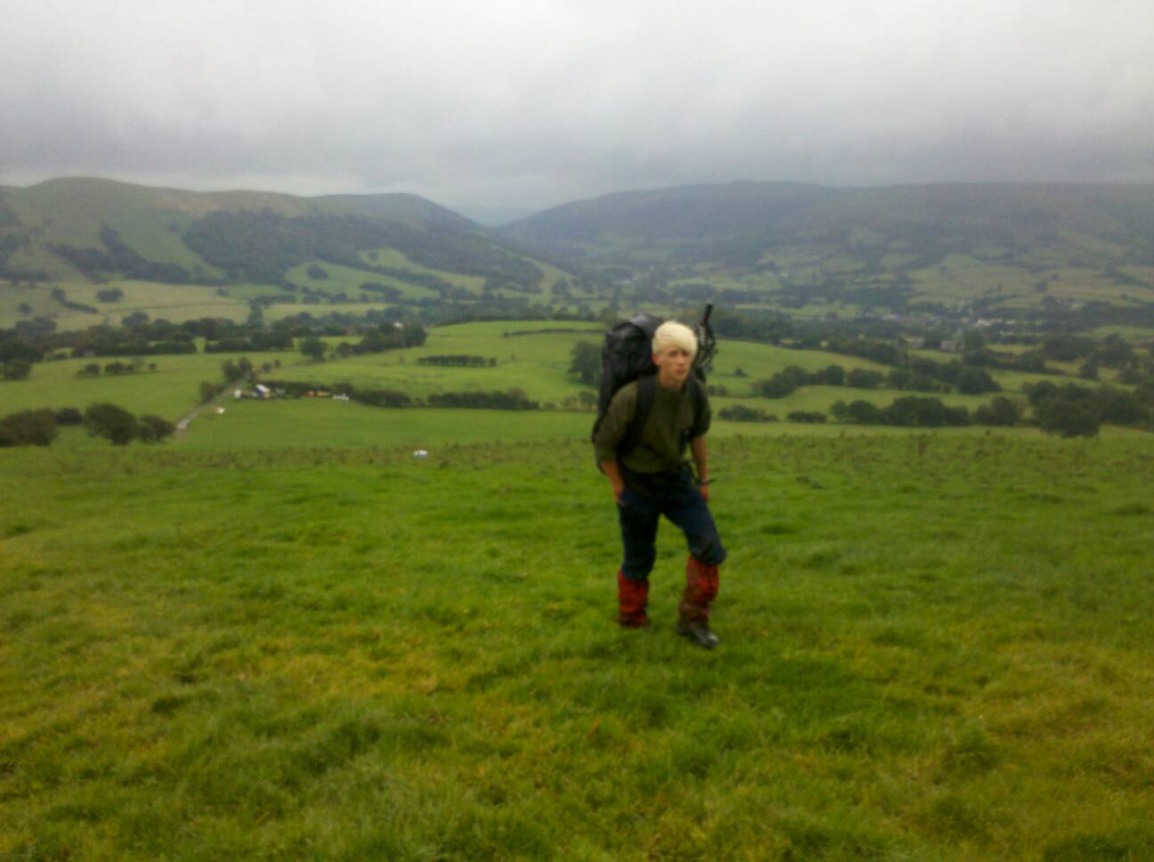
Walked beach in drizzle between Abergele and Rhyl and had to remove boots to wade across stream cutting us from the coast path, bad timing due to torrential rain and got soaked and chilled . At Rhyl we got caught behind security fencing around building work and had to crawl under a gate to get out. Pitched in dunes just outside Prestatyn. 19 MILES WALKED.
17TH SEPT.START OF OFFAS DYKE NATIONAL TRAIL.
WE took a little time to exit Prestatyn due to a hunt for the necessary illusive guide book . Also sent parcel home with old maps and info. Again Prestatyn was a worn and dated and I was pleased to get out if it.
The Offas Dyke route was generally well sign posted with a great view from the hills over Prestatyn and Rhyl, alot better from above than below.
J appeared a little low and lethargic. Pitched on a farm just beyond Bodfari.
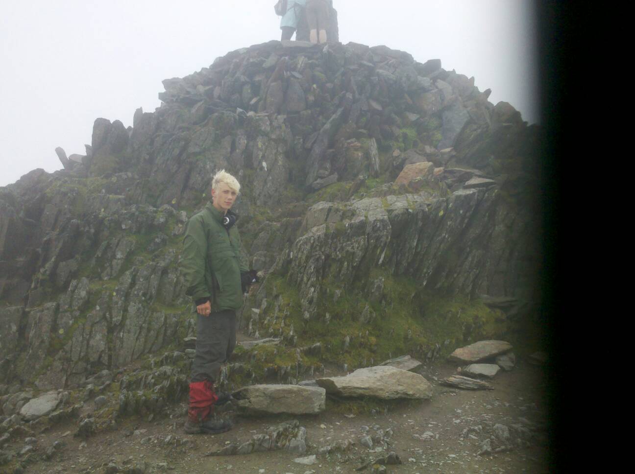
18TH SEPT. Very wet start, tent soaked and delayed start. It was my turn to feel tired and drawn. Generally good walking with various hill forts, hill means lots of ups and downs, fairly physical. Highlight was Moel Fammu or Mother mountain, when I climbed it and feeling how I did I added a swear word to the english name.
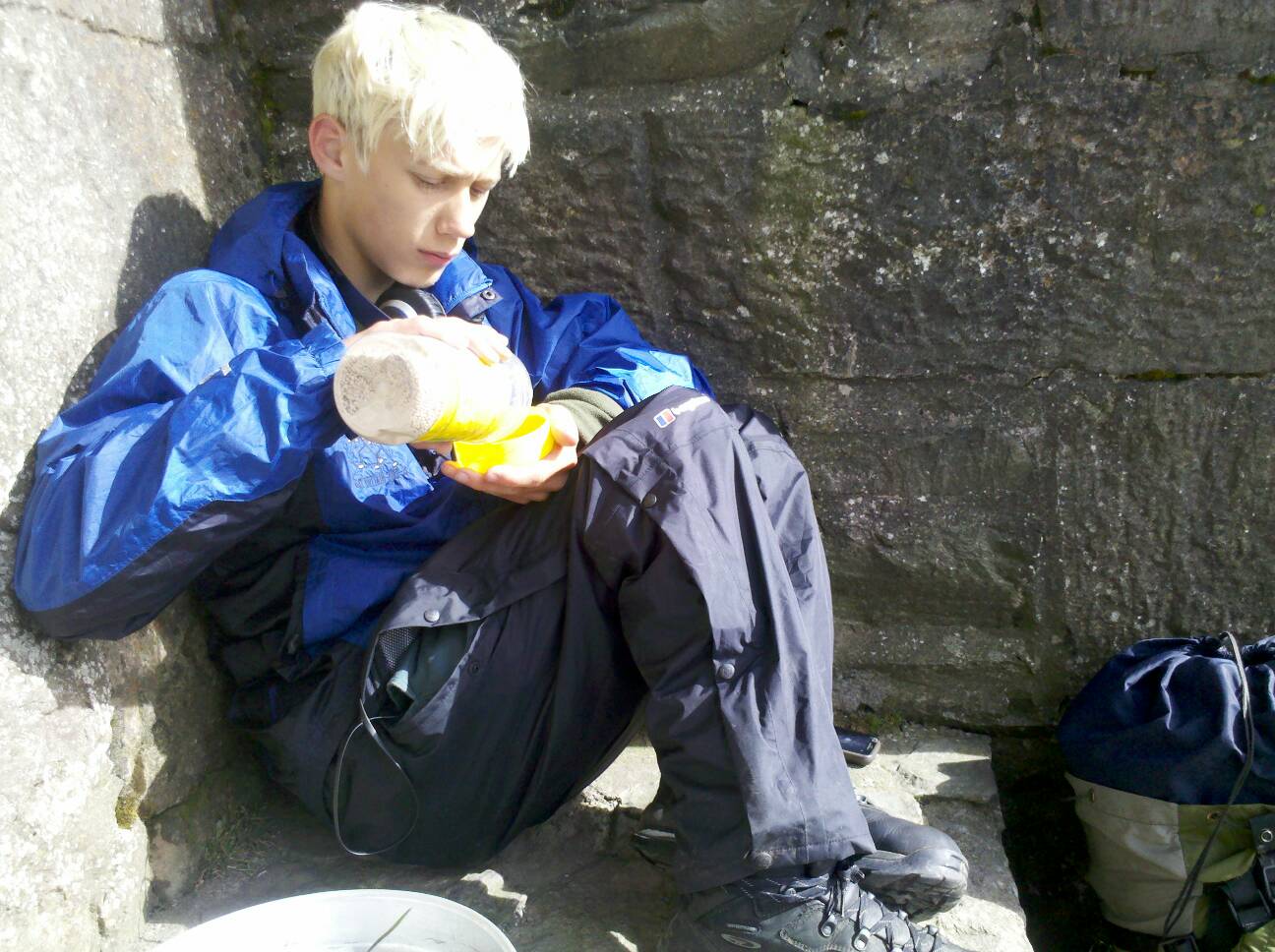
Had joy of boggy cow poached land plus heavy showers as we gained Llandegla, shop was open which gave me a boost with drink and choc bar.
Great walk through and up Llandegla Forest (thanks to mountain biker who came down stating we had a hard climb ahead, a bit of advice - do not tell folk who are going up that they have a hard climb ! Red with white spots Fly Agaric mushroom. Got water from a peaty stream and after a walk via moorland pitched the tent in bracken. No mobile phone signal.
Not a bad trail today , not unlike the Cleveland Way
20 Miles.
19TH SEPT. Damp tent, very cold, probably just above freezing.
Today was probably the best walking day if the whole walk. We went from moorland to deciduous woodland, to fantastic view of EGWYSEG mountain escarpment. I was envious of the folk who lived in the dingly dell cottages below.
Met a group of walkers BOGWC or the Bristol Old Gentlemens Walking Club, all the I could think of with initials like that was toilets. They showed interest in our venture and we likewise theirs. A few hundred yards on another group of walkers came along and if in competition wanted to know where BOGWC
were.
Further on we passed close to Castell Dinas Bray, a castle perched on a knoll towering over LLANGOLLEN.
Had to tell J to take his waterproofs off as it was warm and sunny.
At Froncyslite we sat on the canal path avoiding showers, now Josh was cold and I had to tell him to put waterproofs on. Passed via an alternative detour to Chirk Castle, lived in since 1310 and now managed by the National Trust. When we had passed it J said wheres the castle.
I felt I was picking on J alot today, I got him to stop and tidy his pack as bits were hanging off it and it looked a mess.
The final part of the day took us through a wood, we were now in sunny England although place names were still Welsh.
The descent to Trefonen took us passed a B & B and I asked if they knew of a place to pitch. Before I knew it we were shown a site in the back garden and charged £10 for the privilege. At least the lady made us a cup of tea.
19.5 MILES.
20TH SEPT. Again wet start, didn't help with pitch under trees with them dripping.
Worse start for me, farmland cow poached long wet grass.
Good walk around Llanmynech lime quarry, sort of place I would of loved to play in as a kid.
At the village of same name and now back in Wales we had a feast of kings on a picnic table in a play park.
The final stint was boring along a stretch of the Severn Way alongside the river flood plain and cow chewed land , the odd shower added to the delights.
We gained the Montgomery Canal then had trouble finding a pitch site as we were walking into Welshpool to start the Glyndwrs Way National Trail, complicated I know, but we will return to this spot and finish the Offas Dyke after the Glyndwrs Trail and Pembroke Coast Path.
The long and short is we had to back track and ask at a rather grand housed Moor Farm. Straight away the chap said pitch over there before we had time to say anything. Wish it was always like that! We were shattered and only covered in 14.5 miles.
21ST SEPT. START GLYNDWRS WAY.
Woke to cows mooing in barn nearby and cockerals competing to be heard by the girls.
Quote of day- ' WE MUST SMELL SO BAD WITH SMELLY SOCKS DRAPED ON PACK. AND THE SMELL OF URINE INDICATING I SHOULD CHANGE MY PANTS'.
We walked into Welshpool in the rain via the canal. Stocked up with supplies then sat in a cafe while rain fell heavily for about a hour ,we had the bargain breakfast.
I got the Glyndwrs Guide book from the tourist office.
We did not leave welshpool until 12 heading in the dry to Y Golfo at 350 metres. The parkland we passed through was full of twisted old oaks great for wood turning, and cedar tree.
I gave the map to J who excelled at map reading and I enjoyed the break. He set a good pace and going up hill I had to lean forward to and stride out to keep up. It was a wet ,muddy, road, track,farm land and mud and mud.
We stopped on a dairy farm a mile and half from Pontrobert. The chatty and friendly mother of twins and a 4 year old who showed us proudly his fleet of plastic peddle tractors. With a pint of home grown milk and a hot tea in us we walked to a cowless field on our route.
We had seen 20 plus fly agaric mushrooms, numerous buzzards and even more sheep and cows.
Noticed my boots are losing the sole at the heel, all this mud is suck pulling my boots to pieces. Please hold together! J asleep by 10 and I soon followed.
14.5 MILES SALVAGED BY J.
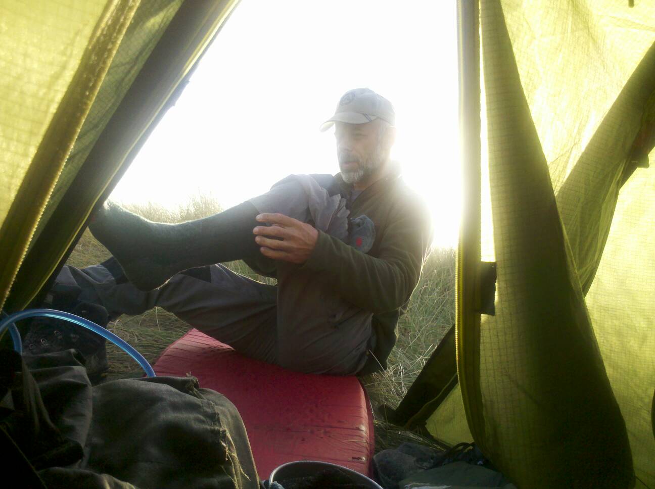
22ND SEPT. Cold night, about -4. Ice on the tent and frosted grass. Sunny day but cool in shade.
Not a great deal to say, muddy climb from Llanwddyn and the touristy Lake Vyrnwy and RSPB reserve. Had sat at the Victorian Reservoir drinking tea and making cheese sandwiches.
Walked via a massive conifer plantation of Dyfnant Forest and soon realised that the guide books map was well out dated, it was printed 2005 , seven years ago- thankyou Welshpool tourist office, and I refered to my gps VIEWRANGER phone app which seems is an excellent up to date system showing the whole of the British mainland via 1:50 000 Ordance Survey maps, great to check route and find actual postion and mileage covered. The only problem is it can be heavy on my phone battery so I only use it sparingly.
As we left the forest we decided to start asking for a pitch. We knew there was a campsite in Llangadfan and did not want to pay for the privilege so asked at a farm on the trail. An elderly gent answered the door and willingly put us in a small sheltered paddock but with instructions to close the gate to prevent cows trampling us, we did!
We had an elaborate meal of pasta bolognaise ,dehydrated, but added cheese and garlic helped. It was a filling meal and J left a wee bit.
23RD SEPT. Woke up at 6 feeling very snug. Got porridge on but only had a few mouthfuls before having to leave tent for my ablutions. Returning I had J's left overs from last night.
The day was another cold start, frost. MR JAMES our host, appeared and shouted good morning and came over for a chat. We talked about how comfortable the Welsh appeared to be since I last was here 25 years ago. Also about working horses. He was a great chap and could of picked his wisdom all day.
The day was awful , I had wet feet within five minutes of walking.
Then the route didnt corrispond with the map and we ended up tramping over moorland that was a bog city. We ended up following an old route which still carried the dragon Glyndwrs Way signs but was obviously not walked. Conifer trees wind fallen covered the route but we were able to get passed all and navigate to Llanbrynmair.
We were pretty damp as we walked through the village and as J phoned his girlfriend via a phone box I went and sheltered in a lovely cafe called Machinations and had a pot of coffee, the best of the walk, and fruit cake.
On leaving again we had trouble with the route changed. Pondering an old cut off route we stood studying the map. A chap came out and redirected us saying the route changed 5 years ago.
Regaining the new route we walked up via a mobile phone ariel but still no O2.
We walked up the hill to 400 m then descended via a conifer wood.
Pass a couple of fields with wig wams we decided to ask at the next farm but No entry signs put us off.
We walked on another half mile, a camping sign deflatted me, but we were ready to stop and it was raining. Asking at the place called Gwalia Farm we were offered the two bedded chalet for a few extra pounds. So we did not have to pitch it was worth it.
The chalet was small, with a grass roof but dry. J wanted to have a go at the canoes next to the lake and I accompanied him. We had a race around the pond, which I won, and how J did not go in amazed me.
We had been damp but now were damper.An apple tree provided us with apples and therefore stewed apples for pud. It also was enough for breakfast.
We slept well.
Waking, the rain fell heavily. At six it was raining. On leaving at 8.30 it was raining. In fact it rained all day with a head down and walk day ahead.
12 miles of wet walking we arrived in Machynlleth.